The Maasai Mara is often described as one place, but it is really several areas that work together. Understanding how they connect helps you choose where to stay and why wildlife moves the way it does.
The reserve
The Maasai Mara National Reserve covers about 1,510 square kilometres, according to published figures. It is the northern part of the larger Mara-Serengeti ecosystem and is contiguous with Tanzania’s Serengeti National Park to the south.
The rivers
The Mara River is the main river draining the reserve and separates the Mara from the Serengeti. The Sand and Talek rivers are its major tributaries. These are the lines the herds must cross; see Mara River crossings explained.
The wider Greater Mara
The Greater Mara includes the reserve, the Mara Triangle, Maasai group ranches and private conservancies. The Mara Conservancy manages the Mara Triangle on behalf of Narok County, while the county manages the eastern Narok sector. Conservancies pay lease fees to Maasai landowners, which helps fund conservation and supports local families.
Wildlife
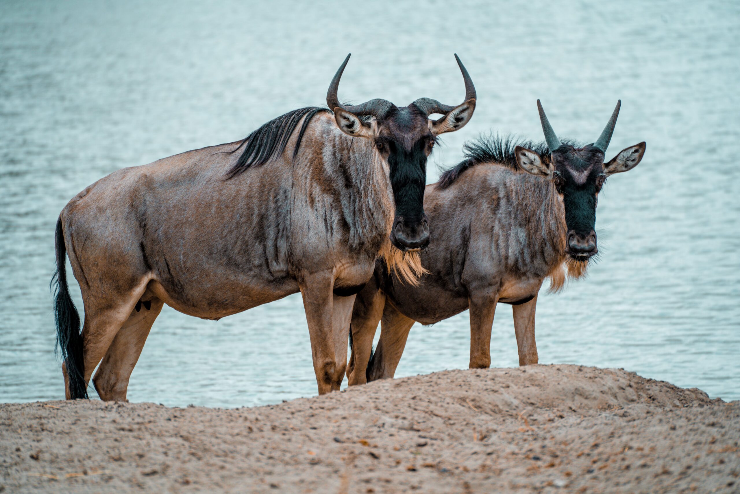
Blue wildebeest dominate, and the Great Migration brings more than a million animals between roughly July and October. All of the Big Five can be seen, along with lions, leopards, cheetahs and hyenas. More than 500 bird species have been recorded.
Why this matters when you plan
- Reserve fees and rules differ from conservancy arrangements. Read Mara park fees and rules.
- Some conservancies may allow activities not permitted in the reserve, so ask what suits you.
- Getting there: see airstrips and flights.
- For timing, read the best time to visit Kenya.
Plan your Mara stay
Tell us what you want to see and we will recommend the right area for your dates.
What the name means
The Maasai gave the area its name. In the Maa language, mara means spotted, a reference to the short bushy trees scattered across the landscape.
Rain and seasons
The area is semi-arid with two rainy seasons: long rains in April and May and short rains in November and December. Annual rainfall ranges from about 800 millimetres in the east to 1,200 millimetres in the west, and the elevation runs from about 1,500 to 2,180 metres.
Who manages what
The eastern reserve has been managed by Narok County Council since 1961, when it first covered only 520 square kilometres. The Mara Conservancy has managed the western Mara Triangle on the county’s behalf since the early 2000s. The Siria or Oloololo escarpment, part of the Rift Valley, forms the western border.
Black rhino
Black rhino numbers in the Mara fell from 120 in 1971 to 18 in 1984. The Mara Conservancy reported a stable population of 25 to 30 in 2023.
Additional detail added 5 November 2026 from Wikipedia’s Maasai Mara entry (secondary source).
Frequently asked questions
How big is the Maasai Mara National Reserve?
About 1,510 square kilometres, according to published figures.
Is the Mara connected to the Serengeti?
Yes. The Mara is the northern part of the Mara-Serengeti ecosystem and the two are contiguous.
What is the Mara Triangle?
A section of the Greater Mara managed by the Mara Conservancy on behalf of Narok County.
What are conservancies?
Areas next to the reserve where Maasai landowners lease land for conservation.
What does Mara mean?
In the Maa language it means spotted, a reference to the scattered bushy trees.
When are the Mara’s rainy seasons?
Long rains in April and May and short rains in November and December.
Who manages the Mara Triangle?
The Mara Conservancy, on behalf of the county, since the early 2000s.
Want help planning? Talk to our team and tell us your dates, who is travelling and what you would like to see.
Facts checked on 5 November 2026 from Wikipedia’s Maasai Mara entry (secondary source). Check the Mara reserve’s official site for current management details.